Rivers, Restrictions, and Responsibility: How Cape Cod Protects Its Land and Water
The upper Childs River in the vicinity of the former Garner cranberry bogs.
Walk along the Childs River, located in the towns of Falmouth and Mashpee, and it’s hard to believe this land once flowed through straightened ditches and drained wetlands—the telltale remnants of former cranberry bogs. Now, the river meanders through a thriving riverine and wetland system, alive with brook trout darting through the shallows, river otters sliding along the banks, and herons standing motionless among the reeds.
This land could easily have taken a very different path. Without restoration and permanent protections, the former cranberry bogs might have been turned into housing developments, leaving streams clogged with stormwater and excess nutrients instead of teeming with life. Its transformation into a thriving riverine and wetland ecosystem was made possible by a quiet but powerful tool: the conservation restriction (CR).
A CR is a legal promise: the land remains in private or municipal ownership, but development that could harm ecological function is limited or prohibited. Homes, roads, or industrial projects are restricted, while natural features, open spaces, and wildlife habitat are preserved. For restoration projects to succeed, nearby lands need protection — otherwise, years of work can be undone by future development.
River Restoration in Action

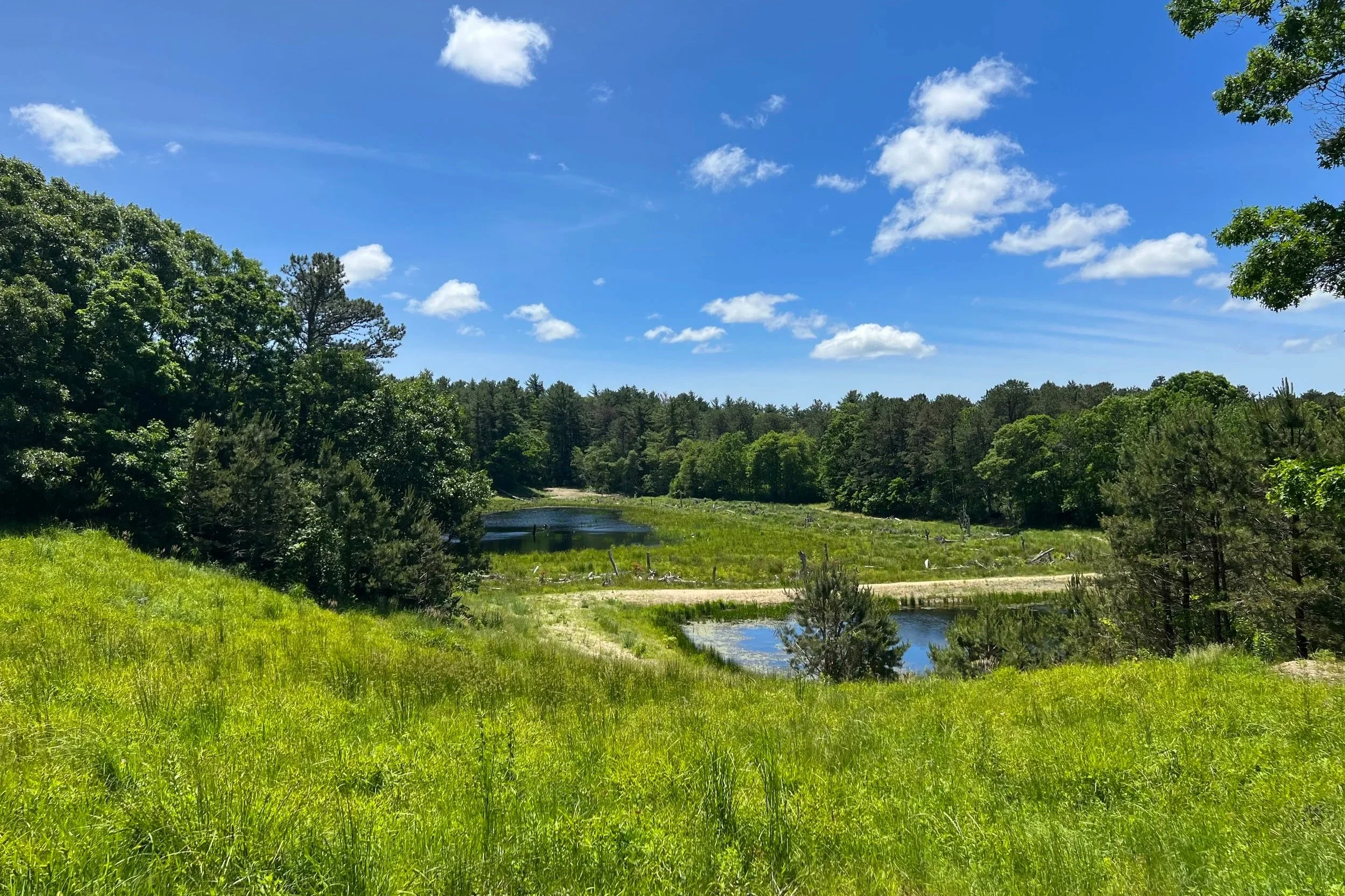
The lower Coonamessett River flows through a section of restored cranberry bogs in East Falmouth, Massachusetts.
On the Coonamessett River in Falmouth, CRs held by the 300 Committee Land Trust and the Coonamessett River Trust protect wetlands and floodplains. This allows the river to meander naturally, supports wildlife, and ensures restoration work can thrive without interruption.

Fishing the restored Childs River in fall.
The Childs River in East Falmouth shows similar success. Conservation restrictions here have allowed riverbanks to regrow, brook trout to return, and water quality to improve. The Falmouth Rod & Gun Club has been a key partner in protecting this land and supporting the restoration, ensuring it remains safeguarded for the future.

The lower Mashpee River, where it flows through a protected valley on its way to the sea.
Rivers like the Mashpee River benefit from conservation restrictions that protect surrounding lands and support healthy ecosystems. The Trustees of Reservations manage the Mashpee River Reservation, safeguarding the lower river corridor from development that could degrade water quality or disrupt wildlife. Ongoing work on the upper river focuses on reconnecting fragmented habitats, stabilizing eroded banks, expanding fish habitat, improving overall fish passage, and enhancing wetlands. By securing additional parcels through CRs and monitoring ecological recovery, managers ensure the river corridor remains continuous, resilient, and capable of providing flood control, water filtration, and habitat benefits for the community.
The Quashnet River, home to wild brook trout, relies on a combination of land acquisition and CRs to maintain floodplains and protect water quality. Orenda Land Trust, the Town of Mashpee, MassWildlife, and DER have all helped secure these protections, allowing restoration projects to succeed and wildlife to thrive.
See Which Lands Are Already Protected
Even when land is publicly owned, there can be confusion about which parcels are formally restricted by CRs and which are not. A recent example is Gunters Lane in Mashpee. While not located on a river, the town’s planning for infrastructure improvements here raised a common question: which town lands are already protected, and which remain open to development or change?
This kind of question is easy to answer with the MassGIS Open Space & Conservation Restrictions map. Residents, planners, and anyone interested can explore protected parcels across the Cape, see which lands are under formal CRs, and understand how public and private protections intersect. It’s a powerful tool for connecting the dots between restoration, conservation, and responsible land use.
Why CRs Matter
You might not live on these rivers or own these lands, but CRs touch daily life in subtle ways:
They keep drinking water clean.
They buffer flooding by protecting floodplains.
They preserve public spaces for walking, fishing, and wildlife watching.
They make restoration investments permanent.
Conservation restrictions are quiet but powerful tools. They allow rivers to flow, wetlands to filter water, forests to grow, and communities to enjoy cleaner, safer, and more resilient environments — enhancing quality of life for everyone. By exploring maps, understanding which lands are protected, and staying involved in local conservation efforts, Cape Cod residents can help ensure that the region’s rivers, open spaces, and public lands continue to provide recreation, wildlife habitat, and natural beauty for generations to come.